
Who Lives on Rancho Palos Verdes Streets
A street directory search in Rancho Palos Verdes begins with a parcel, not a claim that a public roster of occupants exists. The Los Angeles County Assessor Portal can connect an address to an Assessor Identification Number, or AIN, situs, legal description, use, building facts, and assessed values. A deed search can then show recorded parties, while phone books, census schedules, newspapers, and an individual’s own voter verification can add dated household clues. Those sources answer different questions. A current owner, tax-mailing address, permit applicant, and listed subscriber are not interchangeable with a resident.
Walk the record trail in a fixed order so the address trail stays tied to a real parcel and a stated date.
- Normalize the address. Keep the unit number, directional, and street suffix. Search the Assessor Portal’s Basic Search by address first, then try the ten-digit AIN, Legal Search, or map browse if the street wording does not match.
- Capture the parcel key. Record the AIN, situs, legal description, property use, year built, and assessment fields. Open the Assessor map and note adjacent parcel outlines rather than estimating a block from house numbers alone.
- Check recent physical records. Search the city permit portal by address for inspection results, issuance status, and a short work description. Treat an applicant or contractor as a project role, not as proof of occupancy.
- Carry the name and year to deeds. Use the current ownership clue and approximate transfer year at the Los Angeles County recorder counter in Norwalk. Search the owner as grantee, then follow the earlier grantor through prior years.
- Add dated household evidence. Use a voter form only for a supplied person’s own registration check, because it cannot enumerate a street. Ask the Palos Verdes Library District whether a phone volume has a reverse section, then compare subscriber, census, and newspaper evidence.
Rancho Palos Verdes Records by Street Address
Several Rancho Palos Verdes record sets can begin with a street address, but their outputs do not have the same weight. A parcel map can show geometry. A recorded deed can show a transfer. A permit can date work. A historical directory can show a listed subscriber. The county voter form can verify only the person who supplies all required identity fields. Treat the street directory as a chain of source checks rather than a single database result.
| Record Set | Keeper and Key | What It Shows | Access |
|---|---|---|---|
| Parcel assessment | LA County Assessor, address or AIN | AIN, situs, legal description, use, building facts, values | Free Portal search |
| Parcel map | Assessor map, click or browse | Parcel boundaries and adjacent AINs | Free map access |
| Recorded instrument | RR/CC, grantor, grantee, year | Parties, recording date and number, legal description, ownership acts | Free office viewing; copies by county channels |
| Voter verification | LA County Elections, four identity fields | Registration status for the supplied voter | Free self-lookup; not street enumeration |
| Permit and code file | RPV address and date range | Permit status, inspections, work scope, case history | Recent portal; older files by request |
| Phone book or reverse section | PVLD volume and confirmed mode | Listed subscriber, telephone, and address clues | Noncirculating; ask staff for years |
| Census schedule | NARA or library database, date and enumeration area | Date-specific household members and relationships | Public through the 1950 schedule |
The AIN is the bridge between the parcel, map, tax, permit, and deed work. A street name is useful for finding a starting record, but a legal description and document reference are safer when a curve, private drive, condominium unit, or renamed address creates a mismatch. Occupancy needs a second trail, because title and household evidence describe different people at different times.
Search Rancho Palos Verdes Addresses by AIN
The Assessor Portal is the most direct first stop for an incorporated Rancho Palos Verdes parcel. Its Basic Search presents one autocomplete-style route labeled Search by AIN or Address. Legal Search supplies a legal-description route, and Map Search supports parcel browsing. There is no broad public owner-name search in the Portal. That design makes an address or AIN the practical entry point for an address investigation.
A parcel detail can include the AIN, situs address, legal description, property type or use, year built, square footage, maintained bed and bath fields, assessed land and improvement values, roll year, and tax-rate area. Owner details may be limited in the public display. The mailing address, when available from the roll or office, is where tax correspondence goes and may point to a trust, absentee owner, or agent. Neither situs nor mailing proves who occupies the parcel.
| Portal route | Field or action | Use in a street search |
|---|---|---|
| Basic Search | Search by AIN or Address | Find the parcel detail and map link from a street address or ten-digit AIN. |
| Legal Search | Legal description inputs | Resolve a tract, lot, block, or other legal reference when street text has changed. |
| Map Search | Parcel browse and click | Compare the target parcel with adjoining outlines and AINs. |
| Parcel detail | AIN, situs, use, year built, values | Carry stable identifiers into permit, tax, map, and recorder work. |
The Assessor public-service contact page is the right fallback when a parcel detail is incomplete or an older roll question needs an office answer.
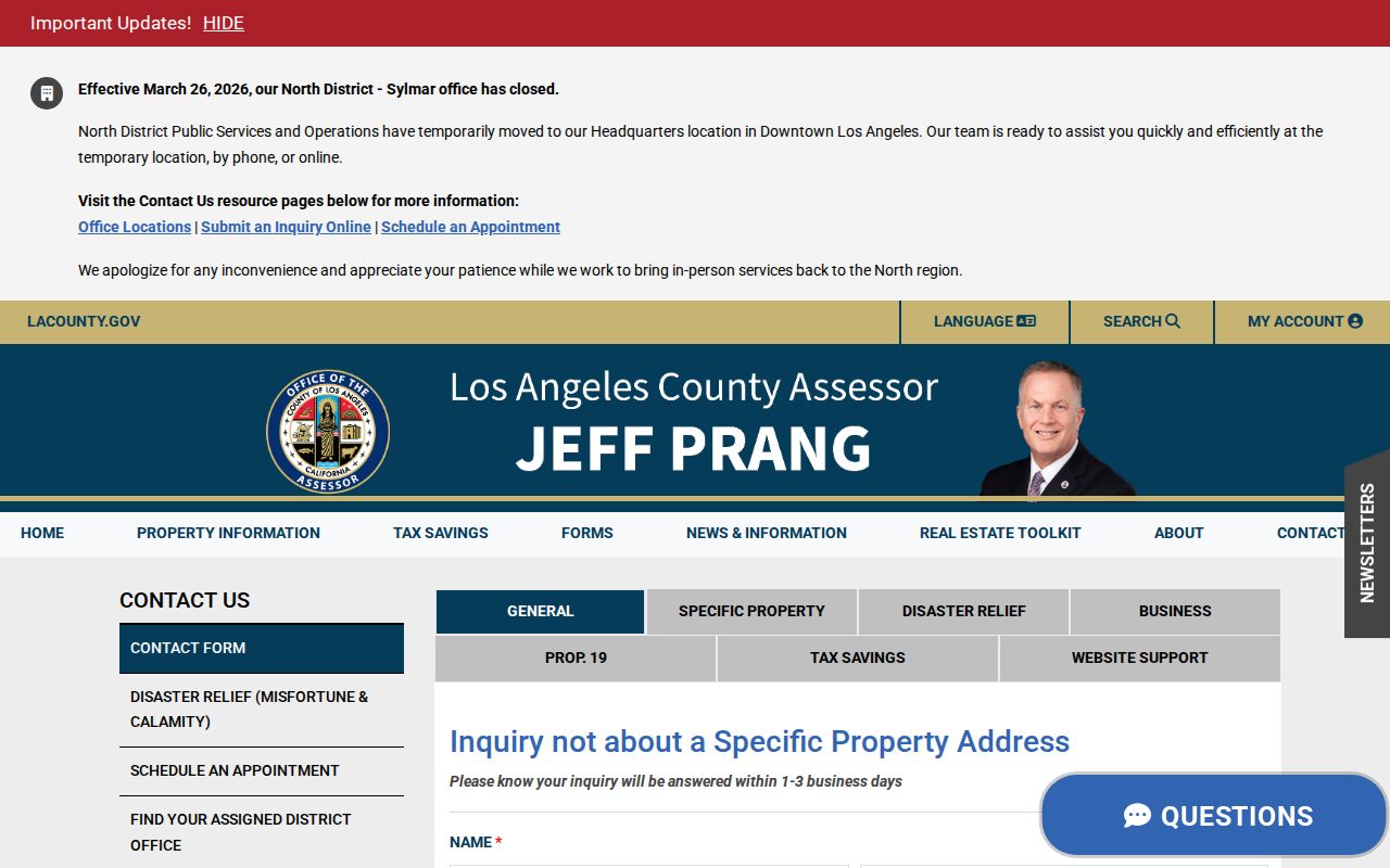
That contact route supports parcel research without turning an assessor record into an occupancy claim.
Map Rancho Palos Verdes Parcels Before GIS-NET
Street-by-street work in Rancho Palos Verdes needs map discipline. Winding postwar subdivisions, private drives, vacant parcels, and condominium units can break a simple run of street numbers. Start with the Assessor map because the city is incorporated. Planning’s GIS-NET Public documentation is still useful for understanding county map tools, but its primary scope is unincorporated Los Angeles County and it should not be treated as the authoritative zoning source for an RPV parcel.
The documented GIS-NET tool set includes search by AIN, address, or intersection; community selection; layer toggles; identify and query; buffer; tract and parcel-map queries; drawing; measure; export; report; print or PDF; and aerial, oblique, or Street View imagery. For an RPV street, use those functions as a model for parcel research, then anchor the result in the Assessor map and city records. A buffer shows geometry around a point. It does not show that the people in that radius know one another.
The county’s public GIS-NET description lists the map functions and access boundary.
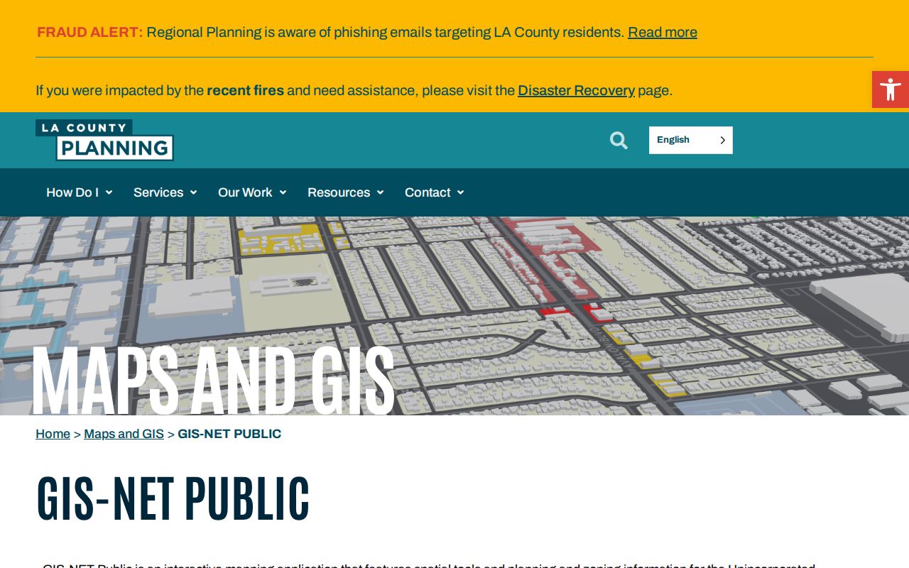
Use the Assessor parcel map for incorporated city parcels, and preserve the AIN and legal description when a map label and street label differ.
Rancho Palos Verdes Address Terms That Matter
Records from a Rancho Palos Verdes address search become easier to compare once the key terms stay fixed. A street address is a useful search phrase, but it can be renamed, formatted differently, or attached to a unit. The parcel and legal description provide stronger continuity across a deed, map, permit, and older history source.
- Parcel
- A defined piece of land tracked by the Assessor and parcel map. Its AIN is a county identifier, not a household count.
- Situs address
- The physical or taxed location of the parcel. It is distinct from the mailing address used for tax correspondence.
- Plat
- A recorded map that lays out lots, blocks, tracts, streets, or other land geometry. It can preserve location when street labels change.
- Criss-cross directory
- A reverse directory arranged by address or street rather than only by subscriber name. PVLD confirms early phone books, but the exact reverse run must be checked with its archivist.
Owner or title evidence names a legal party. Occupancy evidence describes a person or household at a time. A mailing address can belong to an agent or trust. A permit may name an applicant or contractor. Keeping those roles separate prevents a precise parcel record from becoming an unsupported statement about a resident.
Read Rancho Palos Verdes Permits by Address
RPV Building and Safety uses E-Trakit for current permit information. An account is required for current permit details, and an address search can return inspection results, issuance status, and a brief work description. The city directs recent requests, generally within about five years, toward online tools. A permit can date a roof, addition, grading project, or other work, and may identify the applicant or contractor. It does not establish who lived at the address.
Older permits, detailed PDFs, complete permit histories, and code-enforcement files go through the City Clerk’s public-record process. Code enforcement does not advertise a separate public name index. A focused request can name the street address, date range, permit or case number, and desired record type. Existing records may be inspected or copied, but the California Public Records Act does not require the city to create a new list or answer an open-ended question.
Building and Safety lists 310-544-5280 and buildingsafety@rpvca.gov; the inspection line is 310-544-5279. Single-family structural plans are normally discarded 90 days after construction closes. A plan copy may also require written permission from the licensed professional and current building owner under Health and Safety Code section 19851, so request the permit history or index first when a plan cannot be reproduced.
Follow a Rancho Palos Verdes Deed Chain
The recorder’s real-estate index is the crucial next step after an address-to-AIN search, yet it is not a public internet index. The Los Angeles County Registrar-Recorder/County Clerk keeps an alphabetical index by grantor, grantee, and recording year. Search the current owner as grantee in an approximate acquisition year, read the instrument reference, capture the seller and legal description, and search that earlier seller as grantee in an earlier year. Repeat until the chain reaches an older tract or land record.
The Norwalk office at 12400 Imperial Highway separates 1851-1957 records on the lower level from 1958-present records on the second floor. Viewing is free, and appointments can be made up to two weeks ahead. Complete copies can be ordered online, by mail, or at the counter after the index supplies the document number. The county’s online order page states a 20-working-day processing period. It is a copy channel, not a browseable online index.
For family history, a seller check, or a property-record question, keep the grantor, grantee, AIN, legal description, recording date, and document number in a worksheet. The Los Angeles County restrictive-covenant review covers recorded documents from 1850-present and provides a free viewing and modification workflow.
That countywide review is a separate document check, but it shows why recorded instruments should be read as documents with dates and legal descriptions, not as a current resident list.
Use Rancho Palos Verdes Phone Books
The Palos Verdes Library District Local History Center verifies Peninsula and beach-cities telephone books from as early as 1932. The volumes are noncirculating. A researcher should ask the archivist which years exist, whether a particular volume has a reverse section, and what a street entry actually records. The public finding aids do not publish a complete publisher-by-publisher run, so a precise claim about a criss-cross year needs staff confirmation.
A subscriber line can supply a surname or initial, exchange, telephone number, and street address when those fields are present. It proves only that a person was listed as a subscriber in that volume. Compare adjacent years, then pair the result with a 1930, 1940, or 1950 census schedule, a newspaper notice, a yearbook, or a deed. The historical shelf and its wider collection context appear in the Rancho Palos Verdes Directory Book material.
Street terminology also shifts by era. A person before incorporation may be filed under the Peninsula, Palos Verdes, San Pedro, Lomita, a tract name, or a postal exchange rather than the modern city label. Exact spelling matters, especially for initials, married names, Spanish surnames, Japanese names affected by order or anglicization, and trust or entity titleholders.
Bridge Old Rancho Palos Verdes Address Labels
ZIP geography and city geography do not line up cleanly in the Palos Verdes Peninsula. ZIP 90275 is the primary Rancho Palos Verdes postal ZIP, but a ZIP is larger than the incorporated boundary and some peninsula or San Pedro postal contexts use different preferred city labels. ZIP 90274 serves nearby Peninsula communities and institutions. Use the USPS address lookup to standardize a full address and unit, then confirm the municipal parcel in the Assessor map.
One local alias shows why a modern street phrase is not enough. A city land-use record identified 1 Seacove as formerly 6108 and 6100 Palos Verdes Drive South in 1997 and 2003 actions. Match each form to the AIN, legal description, tract, or parcel geometry before treating it as the same place. The parcel did not need to move for its searchable label to change.
Eastview adds another layer. It joined Rancho Palos Verdes on January 5, 1983 after litigation and an Eastview-only vote, while school-service and postal identities did not become identical to the municipal boundary. For an older address search, record the city, postal name, neighborhood, tract, and legal description exactly as each source presents them.
Rancho Palos Verdes Street Directory Limits
A Rancho Palos Verdes street directory can show a parcel, a recorded party, a public permit entry, or a historical listing. It cannot supply a complete list of people inside a house. The Assessor does not provide a general public owner-name search, and parcel detail does not identify occupants, household members, utility customers, delivery recipients, or school students. DMV address data is restricted by the federal Driver’s Privacy Protection Act and California law.
The LA County voter form asks for last name, birthdate, house number, and ZIP Code to verify the submitted person’s registration. It is not a public street enumeration tool. Voter files are restricted by Elections Code sections 2188, 2194, and 18109. California’s Safe at Home program can provide a substitute mailing address and program-specific protection for qualifying participants. A missing name is therefore not proof that a person is absent.
Lawful personal use. Address, deed, permit, and history records can support a family-history project, a personal property file, or a civic question. Do not use them to stalk, threaten, intimidate, or repeatedly pursue anyone. California Penal Code section 646.9 and civil-harassment remedies under Code of Civil Procedure section 527.6 are part of the legal boundary.
Request Older Rancho Palos Verdes Street Records
The City Clerk is the access point for older permits, code cases, city-created rosters, business-license material, correspondence, and other municipal records. The RPV public-record request form accepts a record description, date span, address, file upload, and a choice between inspection and copies. Requests may also be sent online, by email, fax, mail, or in person to 30940 Hawthorne Boulevard, Rancho Palos Verdes, California 90275. The posted counter hours are Monday through Thursday, 7:30 a.m. to 5:30 p.m.; the form also states Friday hours of 7:30 a.m. to 4:30 p.m. The City Clerk lists 310-544-5217, fax 310-544-5291, and cityclerk@rpvca.gov.
The city generally has 10 calendar days to determine whether it has disclosable records and may extend that determination by up to 14 days for specified unusual circumstances. That is a determination deadline, not a promise that every file will be produced within ten days. Ask for existing records by department, address, permit or case number, date range, and format. Exemptions and lawful redactions can remove protected details.
The county’s recorded-document copy request explains the paid fulfillment route after an index reference is known.
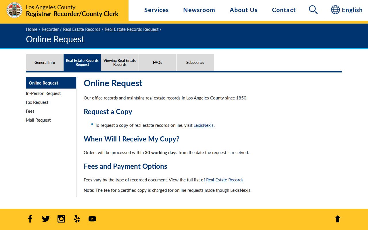
Use the official request channel when a deed image or complete instrument is needed, and keep the index search separate from the copy order.
The county recording and copy fee schedule is the place to check current charges before ordering.
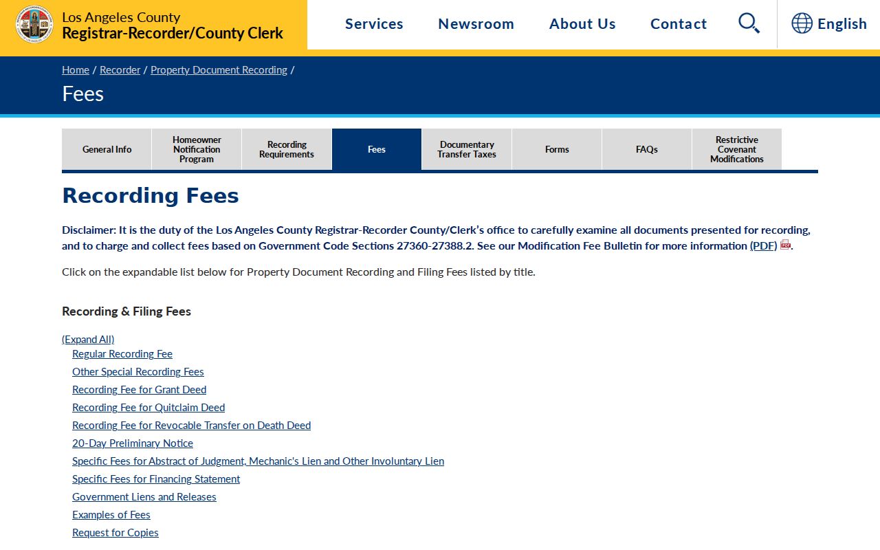
Fees apply to the requested service, while public counter viewing of the recorder index remains the free first step in an address-to-deed search.